


Marine Ways
توضیحات Marine Ways
سلب مسئولیت:
MARINE WAYS هیچ نهاد دولتی را نمایندگی نمی کند و هیچ خدمات دولتی را ارائه یا تسهیل نمی کند.
MARINE WAYS با NOAA وابسته نیست و نماینده NOAA نیست.
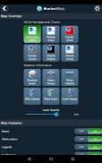
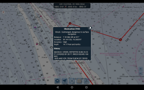
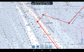
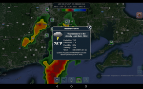
ابزارهای برنامه ریزی مسیر
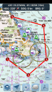
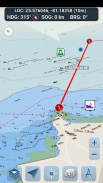
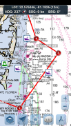
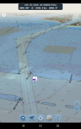
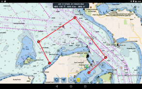
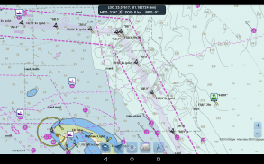
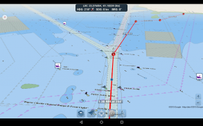
-طراحی مسیر روی نقشه یک ثانیه ضربه بزنید و نگه دارید تا نقاط بین راه را ترسیم کنید. برای تشکیل مسیر، به ضربه زدن و نگه داشتن روی نقشه در مناطق مختلف ادامه دهید. فاصله و یاتاقان به راحتی برای هر پا محاسبه و نمایش داده می شود که شما نقاط بین راه را اضافه، تنظیم یا حذف می کنید.
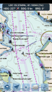
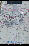
-حالت سفر به طور خودکار نقشه را روی موقعیت فعلی شما در حین حرکت متمرکز می کند. از حالت سفر استفاده کنید تا ببینید چقدر مسیر ترسیم شده خود را در زمان واقعی دنبال می کنید!
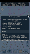
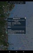
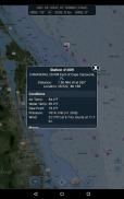
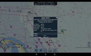
-خلاصه پای مسیر. یک نمای راحت حاوی اطلاعات دقیق از هر پایه ای که ترسیم کرده اید، از جمله مختصات شروع و پایان، فاصله و یاتاقان.
از برنامه لذت ببرید! راه های دریایی نیز در وب در http://www.marineways.com در دسترس است
Marine Ways - نسخه 1.81
(11-06-2025)Marine Ways - اطلاعات APK
نسخه APK: 1.81حزمة: com.marineways.androidآخرین نسخه Marine Ways
سایر نسخهها


اپلیکیشنها در دسته مشابه

شاید دوست داشته باشید...


